Crocheron Public Boat Ramp & Dock
location_onCrocheron, MD
kayakingKayak LaunchAmazon affiliate links — we may earn a commission at no extra cost to you.
About Crocheron Public Boat Ramp & Dock
Tedious Creek, a tranquil waterway in Dorchester County, Maryland, stands as a prime example of the region’s rich and diverse ecological landscape. The creek is enveloped by a variety of ecosystems, including wetlands, marshes, and estuaries, providing a habitat for numerous wildlife species and showcasing scenic natural beauty. Given the calm nature of its waters, Tedious Creek has garnered attention as a favored paddling destination for enthusiasts ranging from beginners to more experienced kayakers. The creek's winding paths, abundant wildlife, and serene environment make it an ideal spot for leisurely paddling excursions.
Kayakers on Tedious Creek can generally expect mild water conditions. The stream offers a calm paddling experience with a gentle flow that is perfect for those new to the sport. Unlike larger bodies of water where motorboat traffic can complicate the experience, the presence of boats on Tedious Creek is minimal, further contributing to a peaceful atmosphere. The creek’s shallow depth allows for approachable navigation, pleasant for recreational paddlers, and the clarity of the water can vary due to seasonal weather patterns, which can affect visibility.
In assessing the creek's water conditions, paddlers should also take note of the classification of the stream. Tedious Creek is categorized as Class I, meaning it presents no significant challenges for paddlers. With its slow-moving currents and minimal obstacles, the creek serves as an excellent environment for novice paddlers to build their confidence. Experienced paddlers may find themselves enjoying the scenic views and tranquil nature throughout their journey, making it an excellent choice for a relaxing day on the water.
Turn your favorite lake into wall art
We render any lake, river, or paddling route in the USA from real hydrology data. Made to order, printed on museum-quality matte paper, and shipped to your door.
Gear up for Crocheron Public Boat Ramp & Dock
Recommended paddling gear matched to the conditions at this spot. Every item ships from Amazon.
Perfect for flat lakes, ponds, and slow-moving rivers. Great starter gear for beginners.
Recreational Sit-On-Top Kayak
Kayak
Stable, easy to get in and out, self-draining — ideal for calm water paddling.
Adjustable Kayak Paddle
Paddle
Lightweight aluminum or fiberglass. Adjustable length fits different kayak widths.
USCG-Approved PFD
Life Vest
Legally required in most states. Get one designed for paddling — allows full arm movement.
Dry Bag (20L)
Storage
Keeps phone, keys, and snacks dry. 20L fits a half-day's worth of gear.
Kayak Anchor Kit
Anchor
Essential for fishing or photography — holds position in wind and light current.
As an Amazon Associate, we earn from qualifying purchases. Gear recommendations are editorially independent.
helpFrequently Asked Questions
help_outlineWhere can I launch my kayak on Tedious Creek?
You can launch your kayak at the Crocheron Public Boat Ramp & Dock.
help_outlineWhat skill level is kayaking on Tedious Creek suitable for?
Kayaking on Tedious Creek is suitable for all skill levels as it is classified as calm water.
help_outlineWhat gear should I bring for kayaking on Tedious Creek?
It's advisable to bring personal flotation devices (PFDs), paddles, and any necessary safety gear.
help_outlineIs fishing allowed in Tedious Creek, and do I need a license?
Yes, fishing is allowed in Tedious Creek, and a fishing license is required under standard state regulations.
help_outlineWhat is the best season for kayaking on Tedious Creek?
The best season for kayaking on Tedious Creek is from spring to fall.
help_outlineIs parking available and how accessible is the launch area?
There is free public access at the Crocheron Public Boat Ramp & Dock, which includes parking facilities.
help_outlineIs Tedious Creek family-friendly for kayaking?
Yes, Tedious Creek's calm waters make it a family-friendly destination for kayaking.
help_outlineIs there a lot of motorboat traffic on Tedious Creek?
Motorboat traffic is minimal on Tedious Creek, making it a peaceful kayaking experience.
Location
Contact & Info
Planning a trip here? Get a local outfitter quote
Rentals, tours, and guides near Crocheron, MD. We'll route your request to local outfitters.
wavesTide Forecast
From Bishops Head, Hooper Strait station (3 km away)
High Tide
Oct 10 at 1:36 AM
2.3 ft
Low Tide
Oct 10 at 8:15 AM
0.3 ft
High Tide
Oct 10 at 1:56 PM
2.5 ft
Low Tide
Oct 10 at 8:52 PM
0.3 ft
High Tide
Oct 11 at 2:19 AM
2.2 ft
Low Tide
Oct 11 at 8:54 AM
0.3 ft
Data from NOAA CO-OPS. Predictions only — check local conditions before paddling.
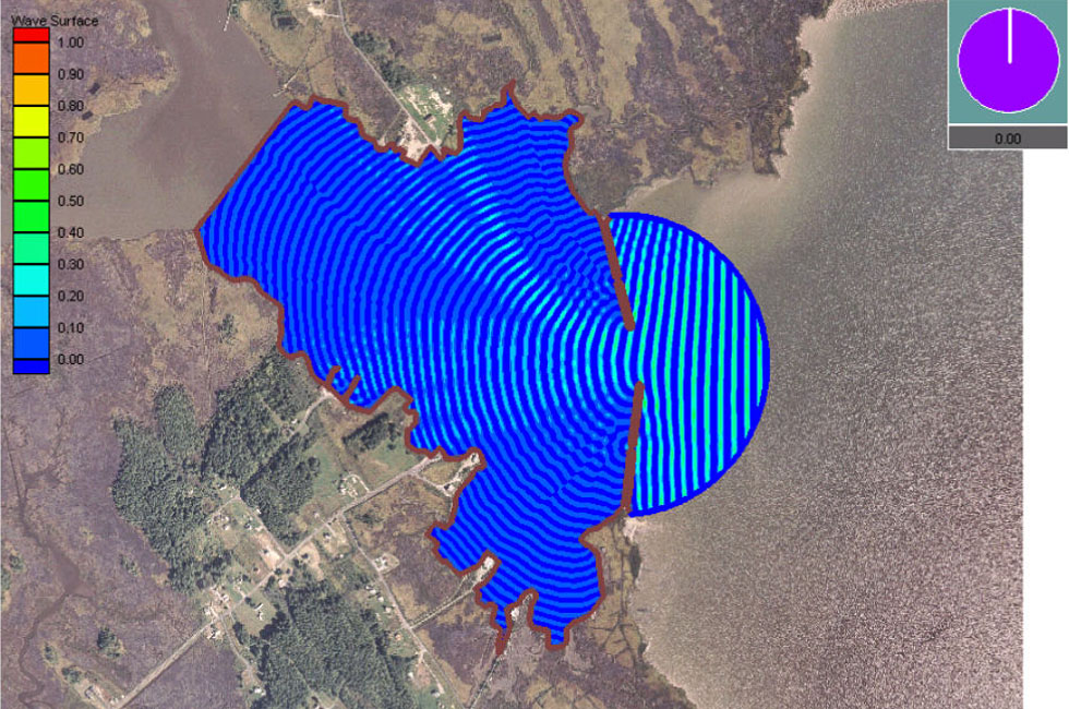
Hero photo: Photo by Coastal & Hydraulics Laboratory, US Army Corps of Engineers / Public domain (Wikimedia Commons)