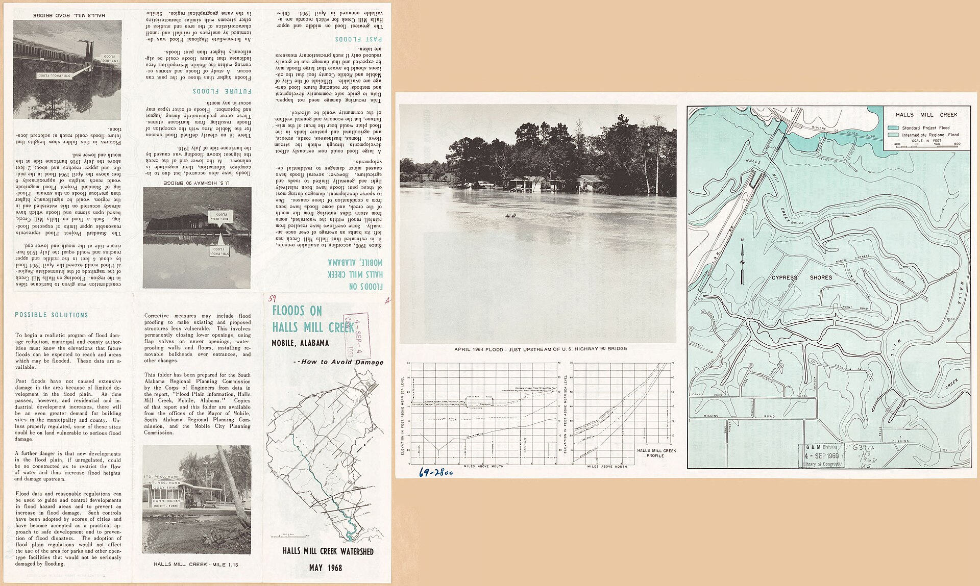
Halls Mill Creek Landing
location_onMobile, AL
kayakingKayak LaunchAmazon affiliate links — we may earn a commission at no extra cost to you.
About Halls Mill Creek Landing
Halls Mill Creek is a serene waterway situated in Mobile County, Alabama, with geographical coordinates of approximately 30.6041° N latitude and 88.1249° W longitude. Known for its tranquil paddling opportunities, Halls Mill Creek flows through predominantly wooded landscapes, providing an idyllic backdrop for kayaking enthusiasts. The creek’s gentle current is especially appealing to families, beginners, and those seeking a quiet outing on the water. As a convenient access point in the region, Halls Mill Creek attracts locals and visitors from nearby cities, notably Mobile, a significant urban area in the Gulf Coast region of Alabama.
Kayaking along Halls Mill Creek offers a unique blend of natural beauty and wildlife observation. The stream is classified as a calm waterway, characterized by its gentle gradient and slow-moving flow. This classification makes it ideal for those who may not have extensive paddling experience or for families with children. Generally, paddlers can expect minimal wind, contributing to a peaceful paddling experience. Because Halls Mill Creek is designated as a waterway that limits motorboat traffic, paddlers can enjoy the calm surroundings without the disturbances often associated with larger vessels. This encourages wildlife sightings and enhances the overall experience of being immersed in nature.
Visitors to Halls Mill Creek will find a mostly shallow stream, suitable for close interactions with local flora and fauna. Water clarity can be moderate, allowing for glimpses into the aquatic life below the surface, which may include various fish species and other aquatic organisms. The lush, natural shores are typically lined with a mix of vegetation, including trees and shrubs, creating habitats for diverse bird populations and other wildlife. It is not uncommon for paddlers to encounter herons, kingfishers, and perhaps even beavers or otters along the banks during their journey.
Get Halls Mill Creek as a map print
We render any lake, river, or paddling route in the USA from real hydrology data — including Halls Mill Creek, AL. Made to order, printed on museum-quality matte paper, and shipped to your door.
Gear up for Halls Mill Creek Landing
Recommended paddling gear matched to the conditions at this spot. Every item ships from Amazon.
Perfect for flat lakes, ponds, and slow-moving rivers. Great starter gear for beginners.
Recreational Sit-On-Top Kayak
Kayak
Stable, easy to get in and out, self-draining — ideal for calm water paddling.
Adjustable Kayak Paddle
Paddle
Lightweight aluminum or fiberglass. Adjustable length fits different kayak widths.
USCG-Approved PFD
Life Vest
Legally required in most states. Get one designed for paddling — allows full arm movement.
Dry Bag (20L)
Storage
Keeps phone, keys, and snacks dry. 20L fits a half-day's worth of gear.
Kayak Anchor Kit
Anchor
Essential for fishing or photography — holds position in wind and light current.
As an Amazon Associate, we earn from qualifying purchases. Gear recommendations are editorially independent.
helpFrequently Asked Questions
help_outlineWhere can I launch my kayak on Halls Mill Creek?
You can launch your kayak at Halls Mill Creek Landing, which features a boat ramp for easy access.
help_outlineWhat is the skill level required for kayaking on Halls Mill Creek?
Halls Mill Creek is classified as calm, making it suitable for beginners and paddlers of all skill levels.
help_outlineWhat gear should I bring for kayaking on Halls Mill Creek?
It's recommended to bring a kayak, paddle, life jacket, and any personal safety equipment you may need.
help_outlineDo I need a fishing license to fish in Halls Mill Creek?
Yes, a fishing license is required to fish in Halls Mill Creek, following standard state regulations.
help_outlineWhat is the best season for kayaking on Halls Mill Creek?
The best season for kayaking on Halls Mill Creek is from spring to fall.
help_outlineIs parking and accessibility available at the launch site?
Yes, there is free public access and parking available at Halls Mill Creek Landing.
help_outlineIs Halls Mill Creek family-friendly for kayaking?
Yes, with its calm waters, Halls Mill Creek is family-friendly and suitable for paddlers of all ages.
help_outlineIs there motorboat traffic on Halls Mill Creek?
Halls Mill Creek may have some motorboat traffic, so it's important to be aware and share the water responsibly.
Location
Contact & Info
Planning a trip here? Get a local outfitter quote
Rentals, tours, and guides near Mobile, AL. We'll route your request to local outfitters.
wavesTide Forecast
From Dog River Bridge station (6 km away)
High Tide
Oct 8 at 1:42 AM
1.3 ft
Low Tide
Oct 8 at 5:42 AM
1.1 ft
High Tide
Oct 8 at 12:48 PM
1.3 ft
Low Tide
Oct 8 at 6:12 PM
1.0 ft
High Tide
Oct 9 at 12:55 AM
1.4 ft
Low Tide
Oct 9 at 7:19 AM
0.8 ft
Data from NOAA CO-OPS. Predictions only — check local conditions before paddling.
Hero photo: Photo by United States. Army. Corps Of Engineers / Public domain (Wikimedia Commons)